
Getting Around Redondo Beach CA: A Complete Commuter's Guide for 2026
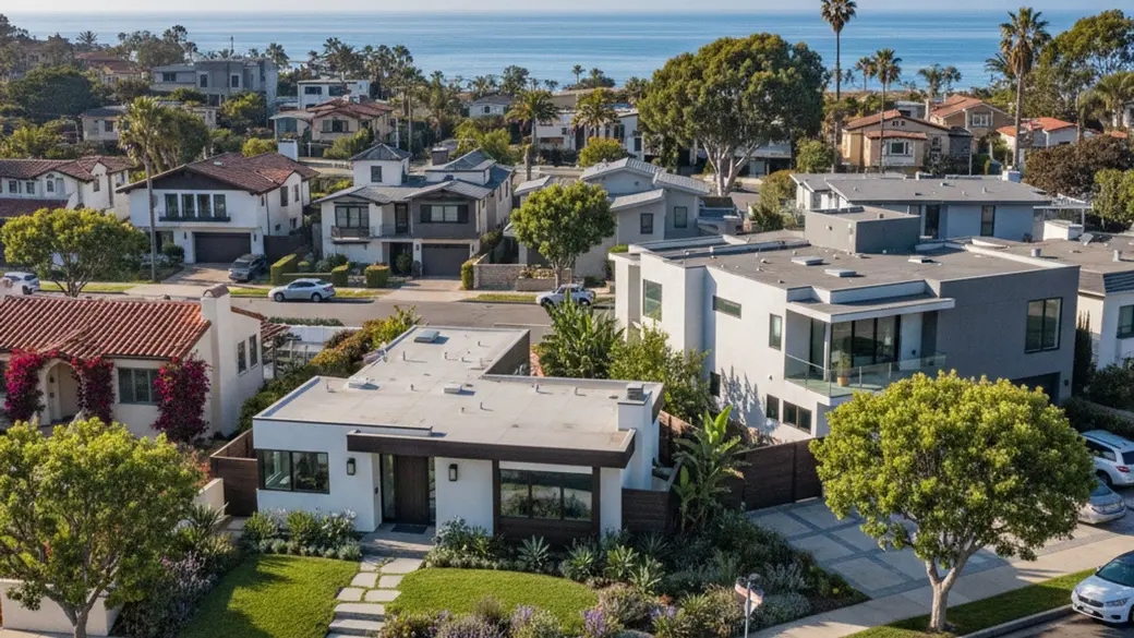
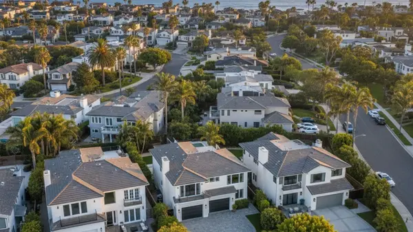
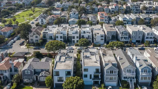
Navigating the South Bay requires an understanding of how coastal geography impacts daily travel. For homebuyers and relocating professionals looking at Redondo Beach, CA, transportation is a primary factor in choosing where to settle. The city sits directly on the coastline, meaning residents trade immediate freeway access for ocean views and oceanfront amenities.
Getting around Redondo Beach CA involves a mix of scenic coastal highways, expanding public transit, and a highly utilized active transportation network. Whether you are commuting to Downtown Los Angeles or heading to a local tech hub, understanding the local infrastructure is essential.
Driving in Redondo Beach: Highways and Major Routes
Car travel remains the primary mode of transportation for most regional commutes originating in the South Bay. Because Redondo Beach sits at the southwestern edge of Los Angeles County, drivers must navigate local arterial roads before reaching the major interstate system. This geographic reality means that east-west travel is just as important as north-south movement.
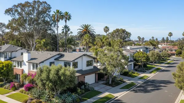
The 2026 landscape of road infrastructure in the area relies heavily on a few key corridors to move traffic efficiently. The most significant takeaway for buyers is that living further inland dramatically reduces freeway access times compared to living right on the water.
Navigating Pacific Coast Highway and I-405
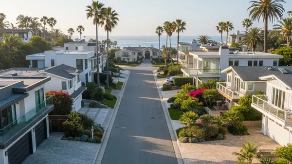
Pacific Coast Highway serves as the primary north-south coastal artery through the Beach Cities. This route offers direct access through Redondo Beach, Hermosa Beach, and Manhattan Beach without requiring drivers to head inland. While scenic, PCH handles heavy local traffic during peak morning and afternoon commuting hours.
To connect to Interstate 405, drivers rely on major east-west corridors like Artesia Boulevard and 190th Street. These thoroughfares bridge the gap between the coastal neighborhoods and the broader Los Angeles freeway system. Traffic flow on these roads is highly directional, heavily favoring eastbound travel in the morning and westbound travel in the evening.
Average Commute Times to Los Angeles Hubs
Objective drive times from Redondo Beach vary significantly based on your exact departure time and destination. Planning around the heaviest volume windows can easily shave twenty minutes off a daily trip. Here is a breakdown of typical commute times to major regional employment centers:
-
Downtown LA: This 20-to-25-mile route via I-110 or I-405 typically takes 45 to 90 minutes depending on departure time.
-
Silicon Beach (Playa Vista and Venice): Heading north via PCH covers roughly 12 miles and generally requires a 30-to-45-minute drive.
-
Los Angeles International Airport (LAX): The 7-mile drive north to the airport usually takes 20 to 30 minutes in standard conditions.
Public Transportation Options in the South Bay
The municipal and regional public transit systems operating within Redondo Beach provide robust alternatives to driving. The transit landscape combines localized municipal bus networks with the expansive Los Angeles Metro rail services. This multi-agency approach allows residents to navigate both neighboring coastal towns and distant employment centers.
Utilizing these systems requires a TAP card, which offers seamless fare transfers across different transit agencies. The integration of this payment method makes it simple to switch from a local city bus to a regional light rail line. For regular commuters, leveraging public transit is an excellent way to bypass gridlock on I-405.
Accessing the Metro C Line (Green Line)
The Redondo Beach Station on Marine Avenue currently serves as the southern terminus of the Metro C Line. This light rail connection links riders directly to the Harbor Gateway Transit Center and the broader Los Angeles Metro network. It offers a predictable, traffic-free option for reaching destinations further inland.
The ongoing 2026 progress on the C Line Extension project is actively pushing the rail network further south. This expansion will eventually connect Redondo Beach directly to the Mary K. Giordano Regional Transit Center in neighboring Torrance. Once completed, this extended route will further enhance regional mobility for South Bay residents.
Beach Cities Transit (BCT) and Local Buses
Beach Cities Transit handles the immediate localized routes connecting Redondo Beach to neighboring coastal cities. BCT Line 109 is a highly utilized route that runs from the city directly to the LAX City Bus Center. This provides a cost-effective and reliable transport method for travelers avoiding airport parking fees.
Additionally, BCT Line 102 connects residents to the Redondo Beach Transit Center and several local high schools. For eastbound travel, Torrance Transit provides reliable connections that integrate smoothly with the regional TAP system. These localized bus networks fill the gaps between major light rail stations and residential neighborhoods.
Biking and Walkability Across Redondo Beach
The city features an extensive active transportation network designed for both recreational use and daily commuting. Navigating the coastal topography impacts non-motorized travel, as the elevation changes significantly when moving inland from the water. Despite these hills, the area supports a high volume of pedestrian and cyclist activity year-round.
Dedicated trails and neighborhood sidewalk networks make it easy to reach commercial districts without a car. The clear takeaway for buyers is that micro-mobility options like e-bikes have transformed how locals navigate the steeper residential streets. Physical infrastructure continues to improve, with protected paths heavily prioritized near the coastline.
The Marvin Braude Bike Trail (The Strand)
The Redondo Beach segment of the Marvin Braude Bike Trail is the centerpiece of local cycling infrastructure. Known locally as The Strand, this 22-mile paved path runs from Torrance Beach all the way to Will Rogers State Beach. It connects Redondo Beach directly to Hermosa Beach, Manhattan Beach, and Santa Monica along the sand.
Near the local harbor, the trail features separate walking and biking lanes to efficiently manage heavy pedestrian traffic. This separation allows commuter cyclists to maintain a steady pace while casual walkers enjoy the oceanfront. The path serves as a highly efficient, car-free thoroughfare for north-south travel along the coast.
Comparing Pedestrian Access in North and South Redondo
South Redondo Beach features dense commercial zones like Riviera Village and the Redondo Beach Pier, offering excellent pedestrian access to grocery stores and dining. Residents in these southern neighborhoods often complete daily errands entirely on foot.
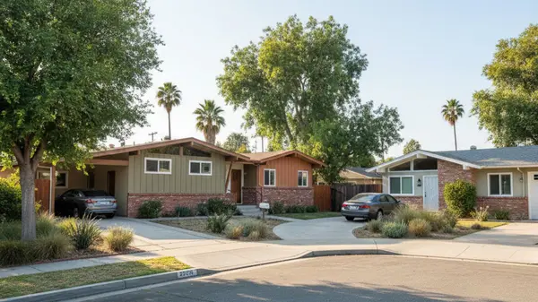
Conversely, North Redondo Beach features a more dispersed suburban grid layout. Pedestrian access here is concentrated along major corridors like Artesia Boulevard, which houses numerous retail centers. While walkability is lower, proximity to the I-405 freeway in North Redondo trades immediate pedestrian convenience for faster vehicular commuting.
Municipal Parking Infrastructure and Airport Access
Understanding local parking availability and regional airport connectivity is crucial for residents and frequent travelers. The municipal approach to parking focuses heavily on managing volume near high-traffic coastal zones and commercial hubs. The city utilizes a mix of large structured facilities and metered street spaces to accommodate daily visitors.
Navigating these parking systems is straightforward thanks to modernized payment infrastructure. For out-of-town travel, the city's location provides multiple routing options to major regional flight hubs. A key takeaway is that relying on municipal parking apps can save significant time when visiting the waterfront during peak weekends.
Redondo Beach Pier and Plaza Parking Structures
The Redondo Beach Pier and Plaza Parking Structure serve as the primary pay-by-space facilities for the waterfront and harbor areas. Combined, these massive garages offer over 1,300 spaces for visitors and residents. The current 2026 municipal rate for these structures sits at approximately $2.00 per hour.
Payment infrastructure is fully modernized, utilizing credit card stations and mobile parking apps for seamless transactions. Beyond the structured garages, metered street parking is readily available along Catalina Avenue and Marina Way. These street spaces are heavily monitored, making strict adherence to posted time limits essential.
Driving Distances to Regional Airports
The proximity to major airports is a significant logistical advantage for South Bay residents. As noted earlier, LAX is roughly 7 miles away, with direct transit available via BCT Line 109. This short distance makes international and domestic travel highly convenient for local professionals.
For alternative flight options, Long Beach Airport is located roughly 18 miles away via I-405 South. Reaching this smaller, highly efficient terminal typically requires a 30-to-40-minute drive. Further south, John Wayne Airport in Orange County sits approximately 35 miles away and serves as a viable backup for regional flights.
Frequently Asked Questions
How long is the commute from Redondo Beach to Downtown LA?
The drive to Downtown Los Angeles typically takes between 45 and 90 minutes. This 20-to-25-mile route utilizes either I-110 or I-405 and is heavily dependent on your departure time. Utilizing the Metro C Line offers an alternative that bypasses freeway gridlock entirely.
Is there a direct train from Redondo Beach to LAX?
There is no direct train into the airport terminals from the city. However, Beach Cities Transit Line 109 provides a direct bus route from Redondo Beach to the LAX City Bus Center. Travelers can also take the Metro C Line and transfer to an airport shuttle bus.
How walkable is Redondo Beach?
Walkability depends heavily on the specific neighborhood. South Redondo Beach is highly walkable, with dense commercial zones like Riviera Village located mere blocks from residential streets. North Redondo Beach features a more spread-out suburban grid, meaning residents typically rely on cars or bicycles for daily errands.
Categories
Recent Posts